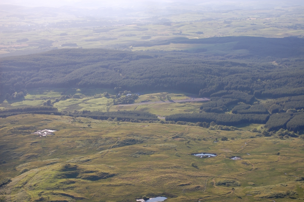
Photo Gallery
Aerial photos - click to view full size

View from West with Mochrum hill in background (1040 ft)
View from SE (downwind RH for 03)

Runway 21 with Barend hill (620 ft)
and Loch Ken in background
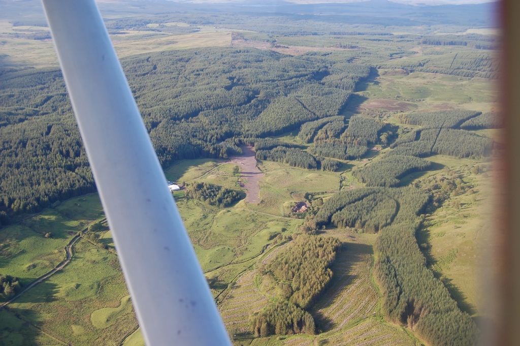
Runway 03 (2.5% average upslope)
Copyright ©
2010-2015 Peter Jackson
Pilots, air traffic controllers and
FISOs are authorised to copy, store and use the information and
digital images on this website for the purposes of planning and
executing air navigation.
Any other copying, storage or use of any material on this website is
expressly prohibited.